Bryce Canyon, Sevier River, and the Big Rock Candy Mountain, Utah.
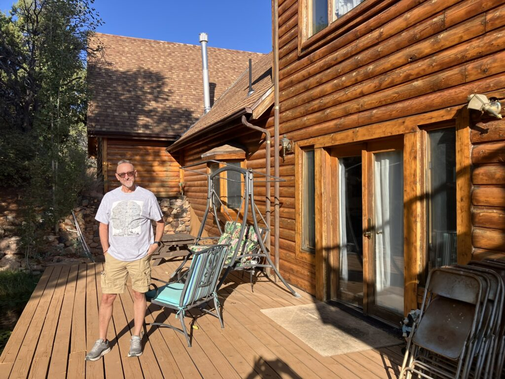
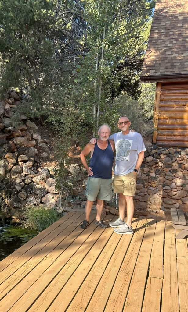
DeLynn, Maggie, and I headed out for Bryce this morning, although Maggie would not be able to do too much that was strenuous. I took a few photos of the house and Maggie and DeLynn, and one shot in particular of Maggie next to a lovely waterfall she built by the rear deck in better days.


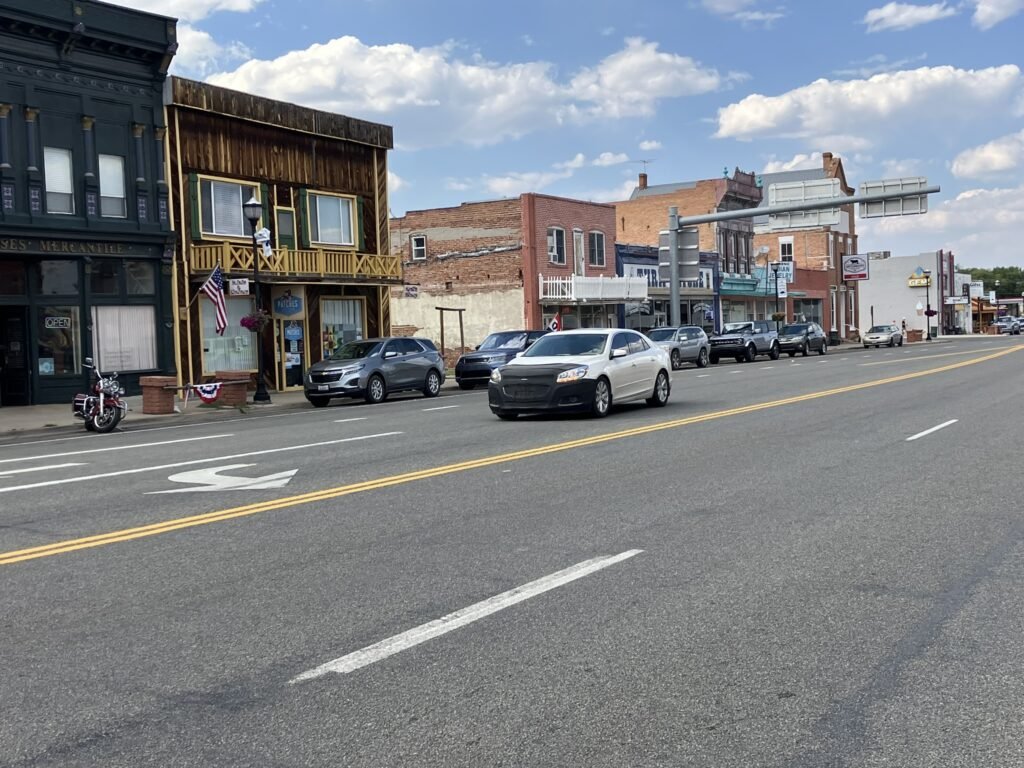
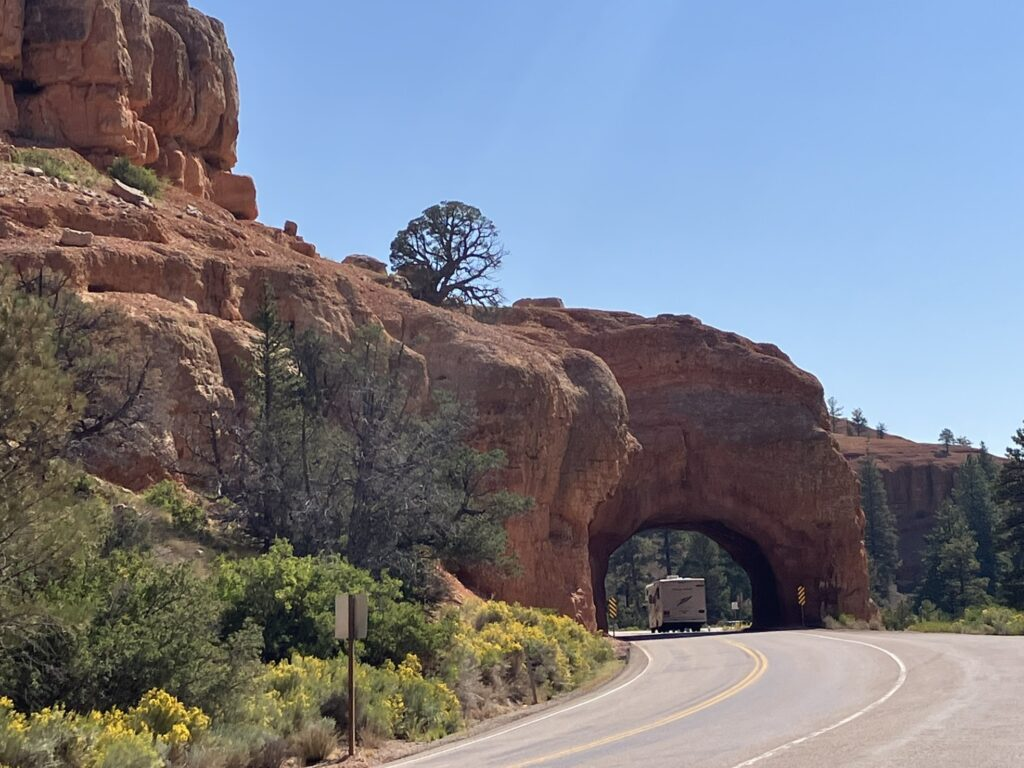
On the way to Bryce, we passed through several small towns, including Panguitch, where DeLynn was born, not too far from here, and then Red Canyon, part of the Dixie National Forest, with its road tunnels carved through the stone. Red Canyon – and it is really red – in itself would be worth a decent visit, and is, of course, beautiful, like all the other parks and forest areas, and just plain roadside scenery.


There are two main problems with places like Bryce. One is that no photo can really do justice to its natural beauty and magnificence, and the other is that there are so many incredible photos to take that it’s impossible to know which to post.
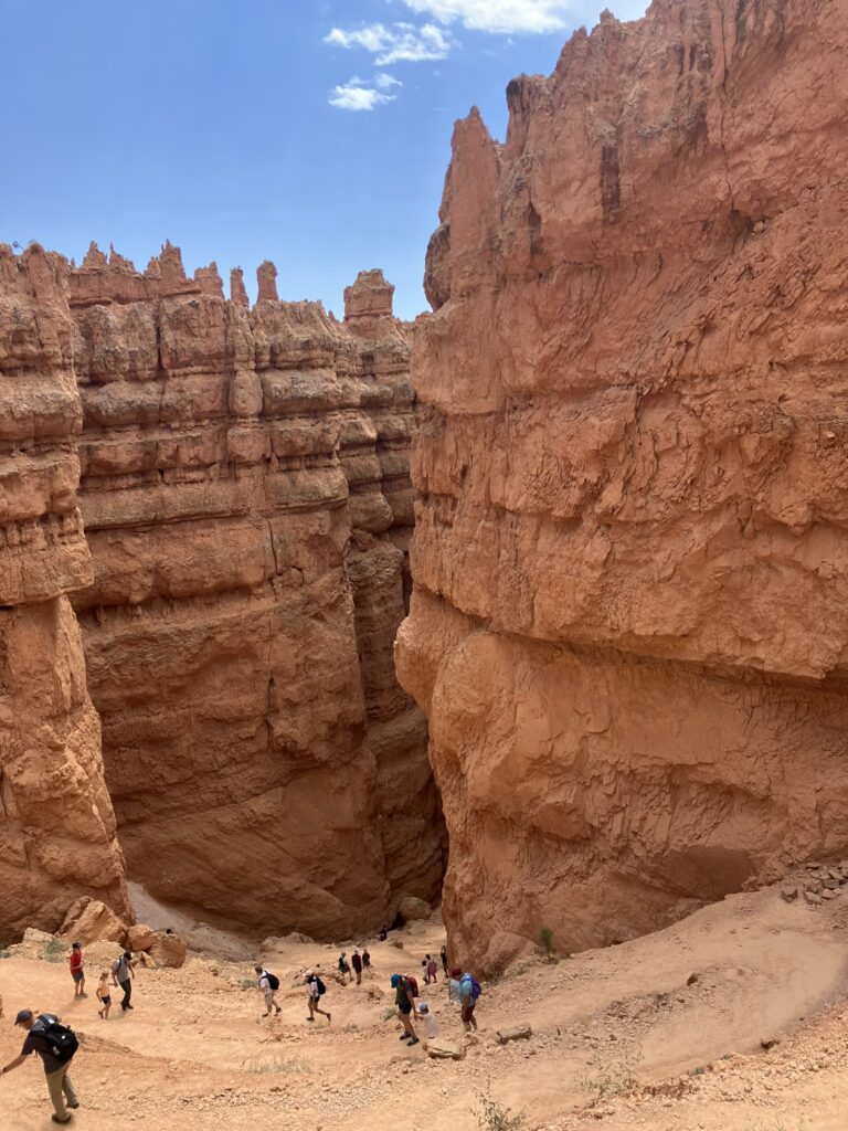
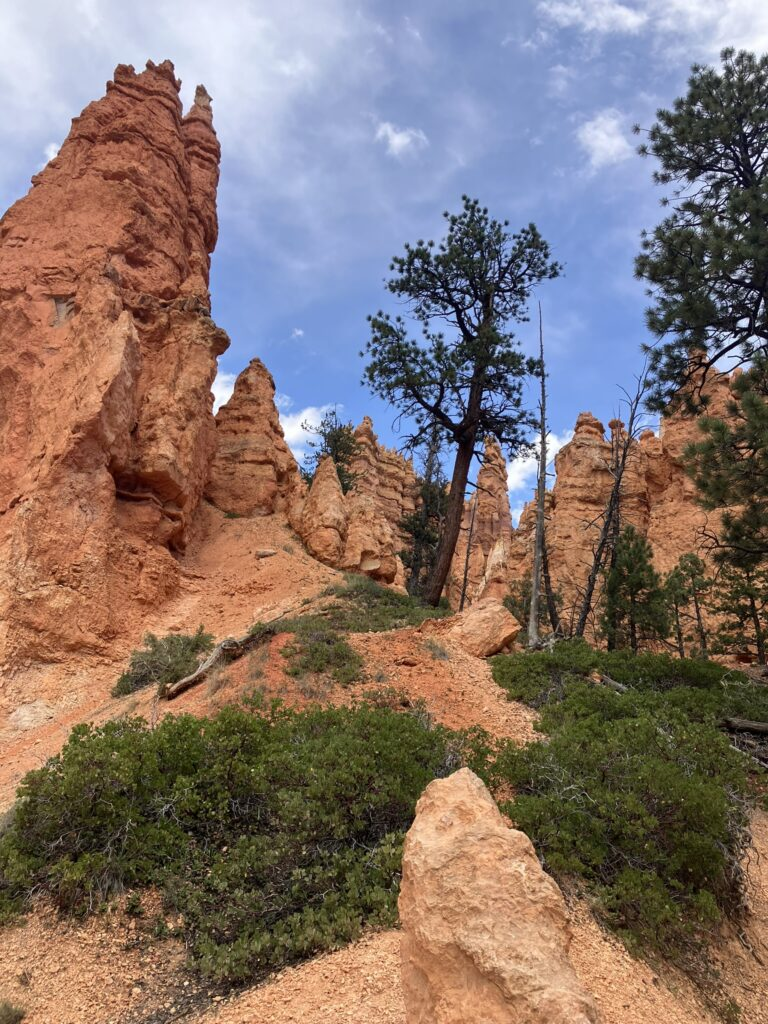
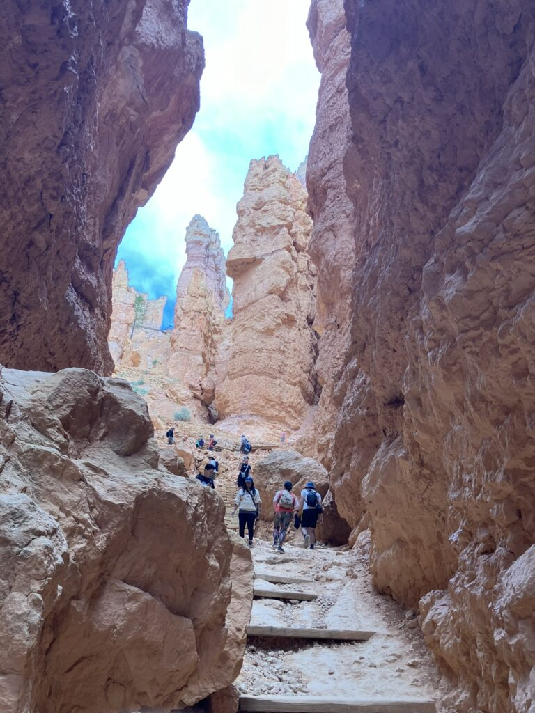
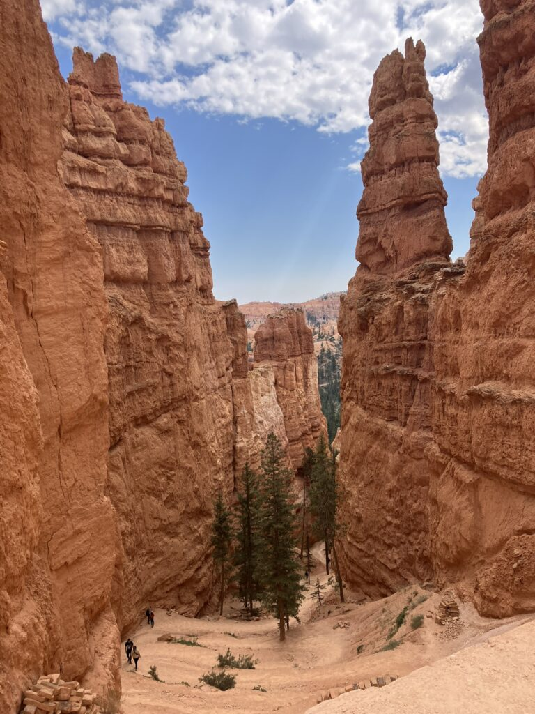
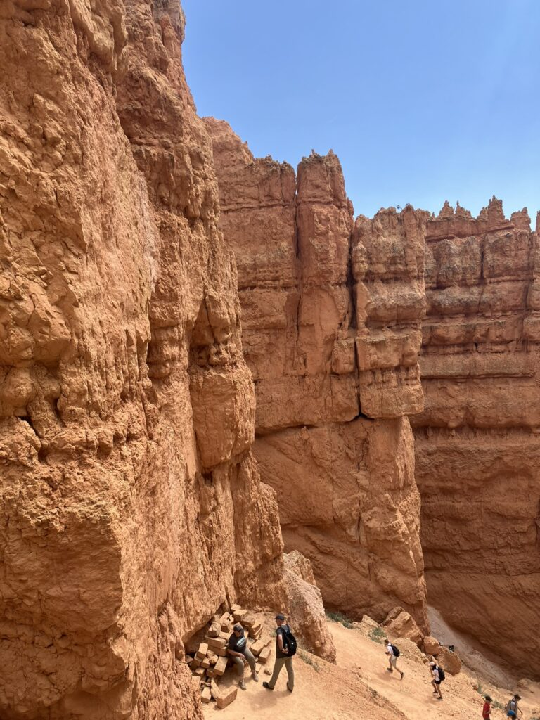
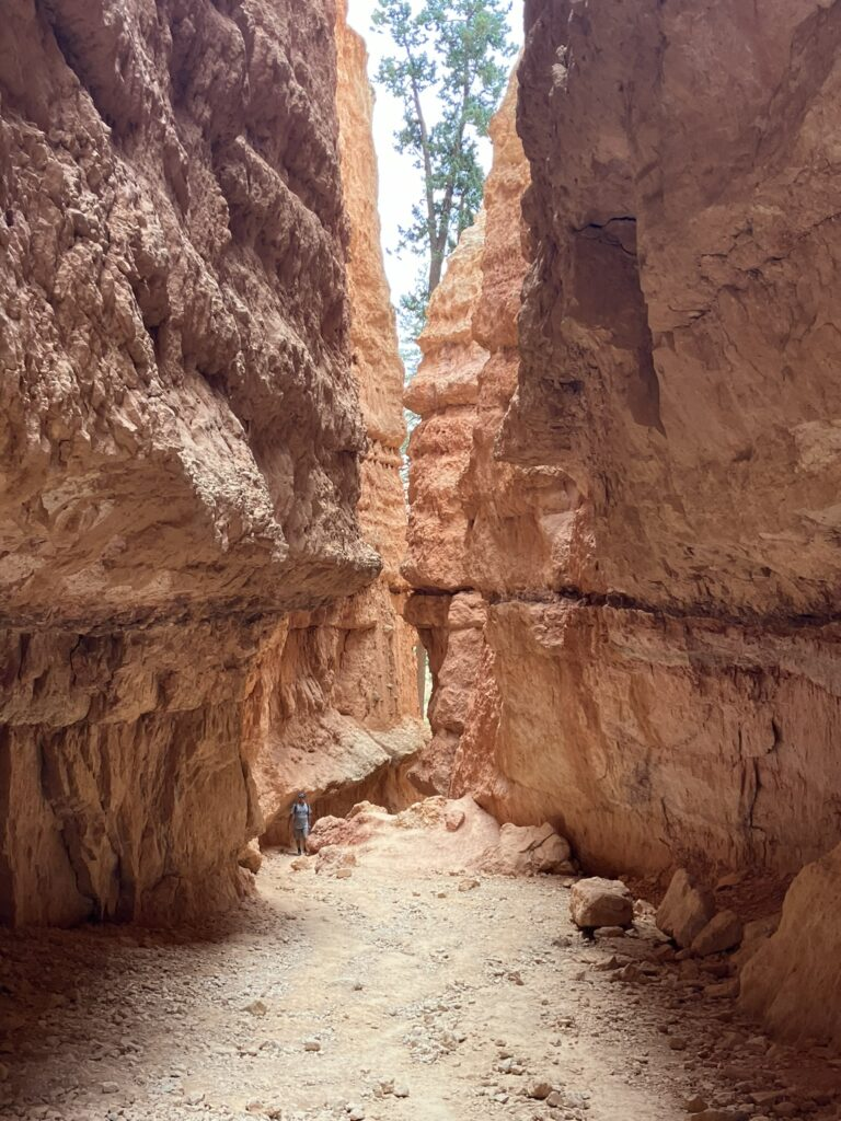
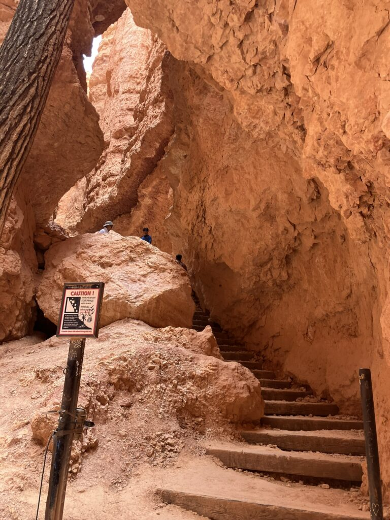
After taking a driving tour of Bryce, we stopped at Sunset Point to view the hoodoos, which are the thousands and thousands of gigantic spires that rise from the canyon floor, in ancient lore, people turned to stone for their bad deeds.


Bev was here twice, once in in 2014 with me, and Maggie, DeLynn, and a couple of other friends, and again in 2021 with Kaye and me. I released some more of Bev’s ashes in Bryce, at sunset point, and later along the Navajo Loop trail that dips down into the canyon, among the spires.

Maggie was unable to make the Navajo Trail loop, which, although only 1.3 miles, is fairly arduous, dipping down among the hoodoos and cliffs, and in which coming back up is a lot more tiring than going down (as you can imagine). I saw a lot of people huffing and puffing on their way back up, and I had to take several pauses coming back up. But what a beautiful small hike.


A quick bite to eat at Ruby’s General Store, which has been just outside of Bryce Canyon and a fixture here since 1916, and then we went looking for the Sevier River.

Along the way, we passed the childhood home of Butch Cassidy, a tiny little place, but he lived just a couple of hundred yards from the Sevier River, which means he must have gone swimming and bathed in the Sevier River.


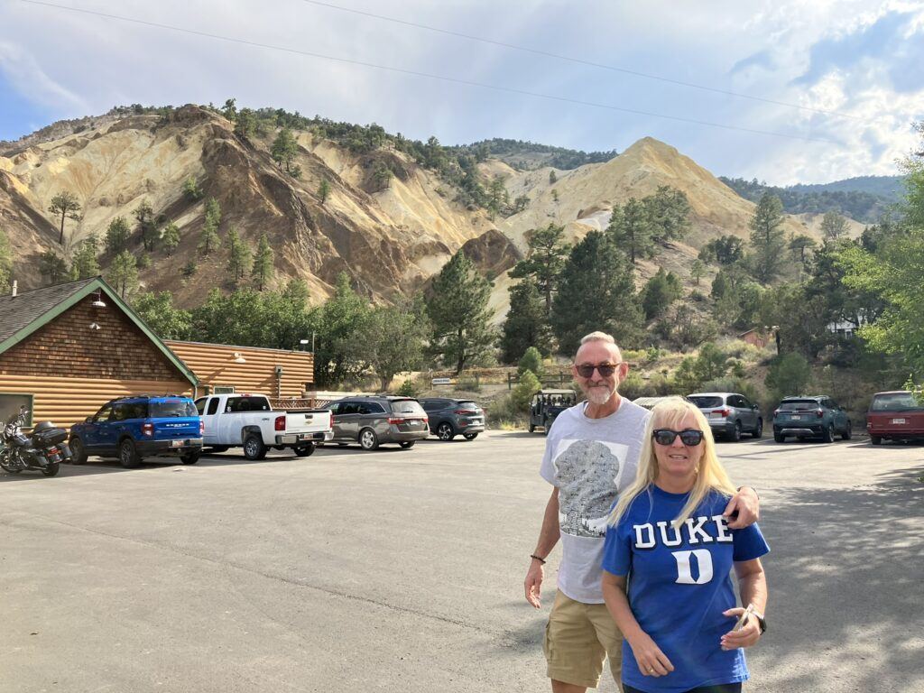
A little further down the road, now in Sevier County (where I was just a couple of weeks ago with Kaye), we passed the Big Rock Candy Mountain in Marysvale. It tasted delicious, just like the song says. It, too, is just opposite the Sevier River, a few hundred yards away.


We followed the Sevier River perhaps 40 miles, as it headed north, to a point where DeLynn and friends used to kayak. The river flows 400 miles, originating west of Bryce Canyon, and terminating in the Sevier Lake, in the Sevier Desert. Who knew?


I released more of Bev’s ashes here, into the river, at the very spot Bev posed in 2014. What a sad thing, to realize I was releasing some of Bev’s ashes into the river she stood next to, her namesake, just ten years later.
We followed the river further along, where I again deposited some more of Bev’s ashes. I find this process very meaningful, and always speak a few words to myself (and Bev).


We wound up the day heading to Sevier, which Kaye and I visited a few weeks ago. It was sort of mind blowing to realize that, for the many miles I’ve travelled since then, to northern and southern California, southern and northern Arizona, and back to Utah, we were now back to where Kaye and I were just weeks ago, only about 90 miles away from Cedar City, maybe an hour and a half (less actually, with an 80 mph speed limit) from Delynn. I’ve driven a giant circle. Kaye and I could have stayed here. 😊
Sevier is really just a small town , unmarked except by the signpost leading to it, the Sevier Highway sign that designates we’re in Sevier, and the GPS on my car. Too cheap to put up a “Welcome to Sevier” sign, I suppose.


Back to the house, and DeLynn and going over where to next for me. He and Maggie are leaving tomorrow to visit their son and family in Oklahoma, and I’ll stay here (very, very kind of them) at their house for the next couple of days, just me and Sammy the dog. I’m thinking I’ll be visiting Zion National Park tomorrow. For now, good night.