Green River, Wyoming.
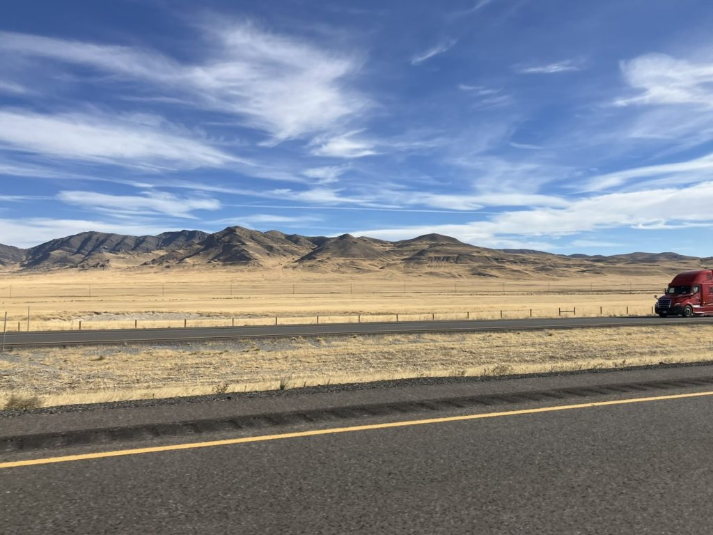
Heading to Green River, Wyoming today, a little under 300 miles, en route to Denver where I’ll be tomorrow night to visit Goosey and Muniya. Pretty soon after Wendover, driving east on route 80, mountains started to appear, some near the roadside, but mostly in the distance, off on the horizon, but growing larger the further east I drove, heading toward the salt flats and then Salt lake City, which I’ll just pass through. No real interest in stopping to visit. Maybe some other time.


I was wrong when I said this a boring ride, dominated by the salt flats, which get mundane after a short while. That was completely wrong. It’s another example of my memory versus actuality, in which my memory often loses out. To be fair, it may also be older eyes (and an older brain) seeing the same landscape many years later, as I haven’t traveled this way since probably the late 1970’s. Nonetheless, some of my memory is factually wrong. I passed a sign for Bonneville, where all the land speed records get set, right there on the salt flats, and I thought that might be a nice thing to take a look at, although I hadn’t thought about it until seeing the sign. I thought the salt flats were quite a ways ahead, further east, near Salt Lake City, and that as I went further east, toward Salt Lake, I’d see more signs to Bonneville. I also remember the salt flats lining route 80 for mile upon mile. Wrong on all counts.
It’s not that the salt flats are small, and there are lots of different salt flats along route 80, but they don’t line the highway for mile after mile, but it turns out the main salt flats, where Bonneville is located (for which I never did see another sign, so missed it), is only about 12 miles long and 5 miles wide, and located nowhere near Salt Lake City, which is 120 miles further east. Bonneville is actually far closer to Wendover, where I started out my day.
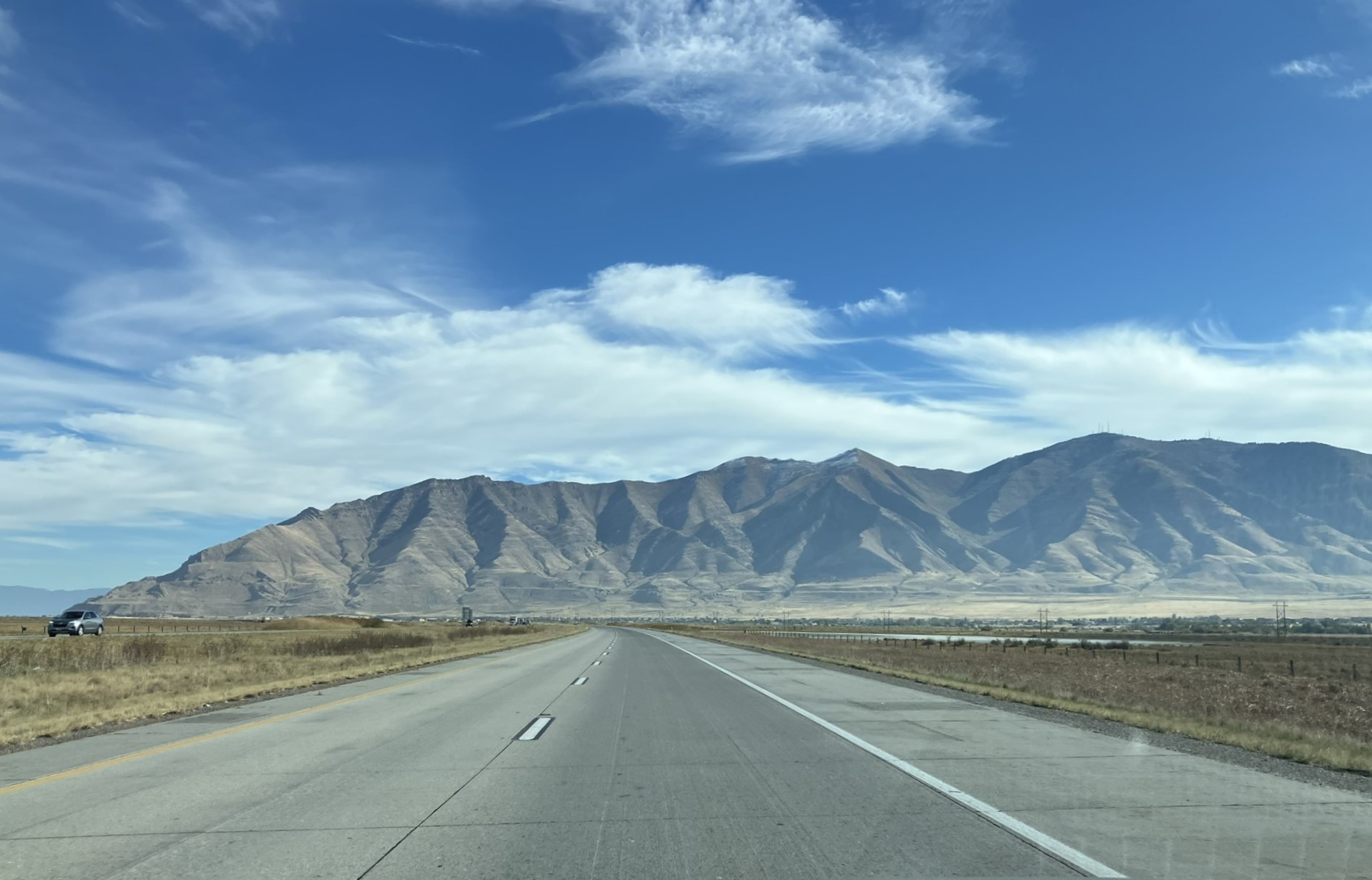
At any rate, there are many salt flats along route 80, starting in Utah, as well as in Nevada, where Kaye and I saw quite a few salt fields along the highway. But as I drove closer to Bonneville and the salt flats, the quality of the light was distinctly different. The sky blue and glistening of the many salt fields, that run along route 80 on both sides, some larger than others, gives a crispness and intensity to the light, almost as though there’s ice in the air, which I suppose is the fine salt that is somehow suspended in the air, as ice crystals might. The quality of the light looked made the scenery look like it could be Ice Land, or in this case, Salt Land.
Unfortunately, I didn’t have an opportunity to take photographs that captured that crystal sharp light. I did manage to catch a shot of a couple of the crystal clear lakes formed by the salt flats that haven’t yet congealed into a solid surface like the other flats, such as Bonneville, where motor racing speed records are set.


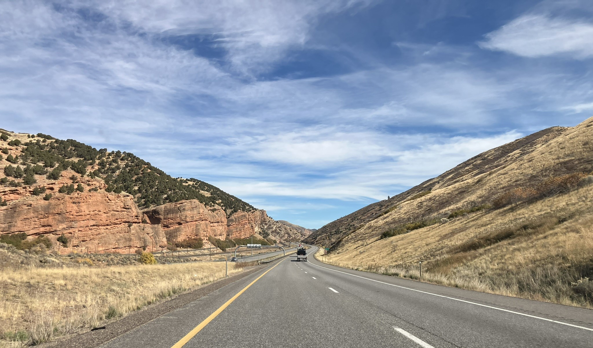
At any rate, although the scenery can get boring as it is mostly prairies, with mountains in the distance, interspersed with salt flats, it is an interesting scenery, nevertheless. It also changes, varying between meadows and prairies of green-yellow, the hue of the autumn foliage, and the glistening and sometimes gleaming salt fields that take the place of, and are interspersed between and among the scrub and grass prairie lands. It really isn’t as I remembered it at all. Huh! Waddya know?
As I got further east, the mountains grew larger, eventually ringing and lining the highway as I passed through Salt Lake City and continued further east to Green River, Wyoming, where I spent the night.


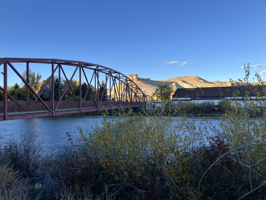
Unsurprisingly, the Green River runs through Green River, Wyoming , connecting it to Green River, Utah, where I stayed back in September.
This Green River, the one in Wyoming, is bigger than I would have guessed, with over 11,000 people, as it seems pretty small and sleepy, with no real downtown area. It’s somewhat dominated by Castle Rock, which looms overhead, and can be seen from virtually every vantage point in town.


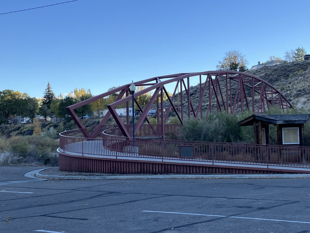
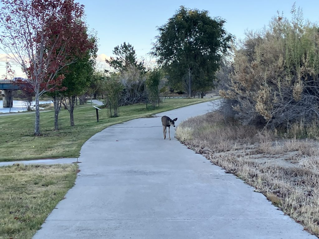
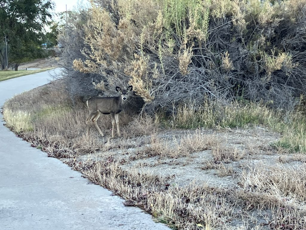
After I checked in, I took a three mile walk across the river, crossing the Trona pedestrian bridge and onto the very nice Island Park Trail, a riverwalk running through Riverside Memorial Park. The trail and park are very nice, but basic, with no special landscaping or features along the way, and the trail is mostly concrete slabs, that could use some maintenance but are otherwise in good shape, and nicely built wooden boardwalks. But, a very nice and easy to walk trail along the Green River, across from the town and the railroad yard, filled with rolling stock.

By the time I finished my walk, darkness was coming on. It’s starting to darken by 6:30 now, and certainly generally cooler during the day, and definitely sweat short weather by this time of day, as well first thing in the morning.


