Logan, Jackson Hole, and Grand Teton.
I set off earlier than usual, as I had a ways to travel today, and some different things to take in. The weather started out a lot better than yesterday, without the heavy rain and powerful gusts of wind, but was still cool, in the late 40s and mid-50s, and heavily overcast, with a lot of light but steady rain on and off much of the day, and especially the afternoon and early evening. Definitely long pants and shoes weather, for now at least.
First, I headed to Logan, about an an hour north of Ogden. I lived in Logan for a couple of months (I can’t really remember how long) in either 1976 or 77, where I worked as motorcycle mechanic in the Honda bike shop along Main Street. I went there initially as I was interested in the aircraft mechanic program offered by Utah State University, which is located in Logan, and although I remember going to the university for an interview, that’s all I remember. I obviously didn’t attend the program.
Dave Fowers warned me that Logan has grown a lot, and I wouldn’t recognize it, and, after all, it has been about 50 years. But, I really did not recognize it… at all. I recall it being much smaller, but of course, the basic structure of the town, and its residential streets, its churches and old government buildings, etc., must be very much the same, and I really had very little memory of that, although had some dim recollections of the many streets and homes north of Main Street. I also didn’t recall how far of a walk it was to the university, which is probably much larger now than it was then, but it hasn’t changed its location, and really isn’t particularly close to the downtown area, as I recalled it being. Back then, my transport around Logan was pretty much by foot, as by then I no longer had a motorcycle.
The university today is a thriving small city of students and nice looking buildings, some old and many new, but the only thing I remembered was the Old Main building, as it is called, and taking the the many steps leading up to it, and the steep grass covered hills running along each side of the steps. I walked those steps when I interviewed, and I remember the university maintenance guys had set up a slip-and-slide down one of the hills – long and wide strips of plastic constantly hosed down with water to create a wonderful, and very muddy, downhill slide that students were having a great time sliding down, getting soaked and also covered in mud, and I also remember a professor putting down his briefcase and doing the same, even though he was wearing a suit. It looked like a lot of fun… but I was on my way to an interview.

Logan is now a town of about 55,000 people, and a nice and modern looking small city, with some lovely features, and a university town at that, housing the main campus of the Utah State University, with about 21,000 students, but otherwise generally nondescript. It is surrounded by and embedded in the same wonderful scenery that makes up this entire region, with mountains and canyons just north of the city.
But, the main street and downtown area, now much larger than it was in 1976, was completely unrecognizable to me, and I couldn’t begin to find the rooming house where I lived, or that motorcycle shop. In fact, unlike everywhere else I’ve visited, where I could traces, at least, of my former life there or visits, Logan was like a place I’d never been, let alone lived and worked. Other than those 124 steps on the university campus, I pulled a complete blank.
So, after a while of driving around, I headed north, first through Idaho traveling on route 34, the Oregon Trail, and eventually entering Wyoming en route to Jackson Hole and, after that, Grand Teton National Park.


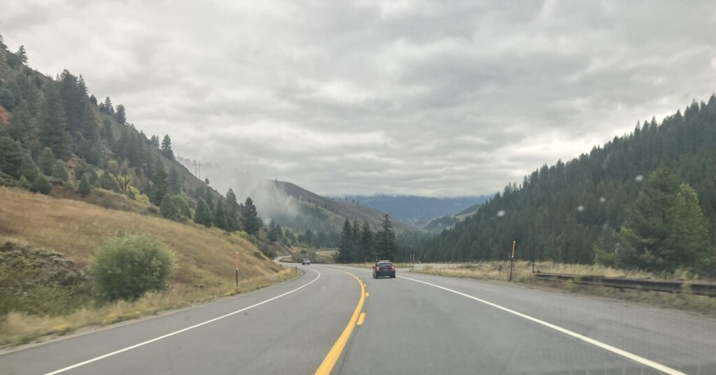
Of course, the drive was beautiful, and the weather was cool, but pretty good. The light and persistent rain really didn’t start until I reached Jackson, Wyoming, about 190 miles north of Logan. But, even before the rain started to steadily fall, although lightly, the clouds were low on the mountains, and in many cases covering the tops of or well down into the surrounding mountains.


And then east and north east in Wyoming, and soon past that, Jackson, Wyoming.

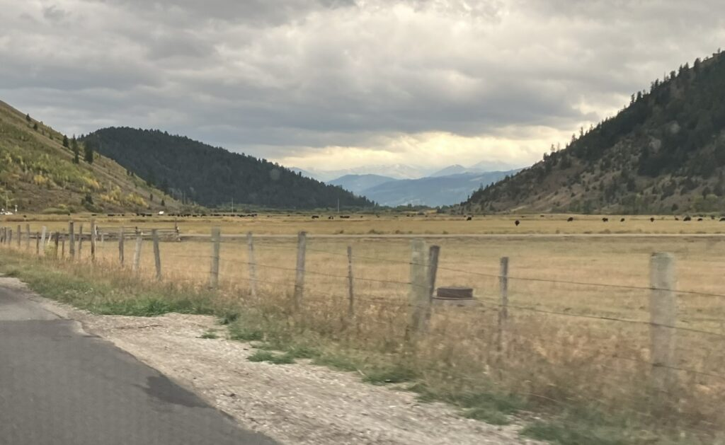
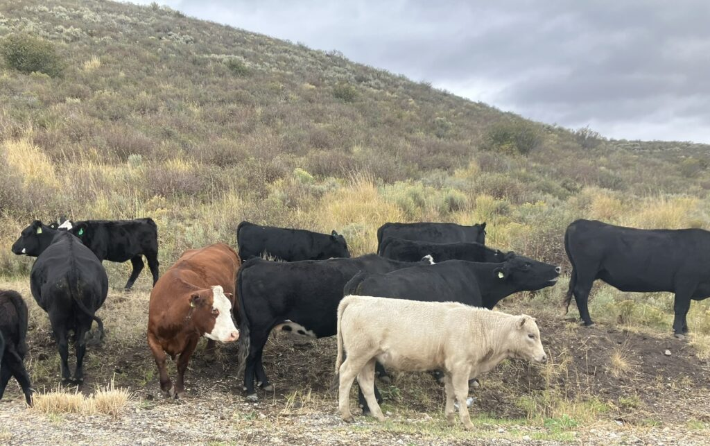
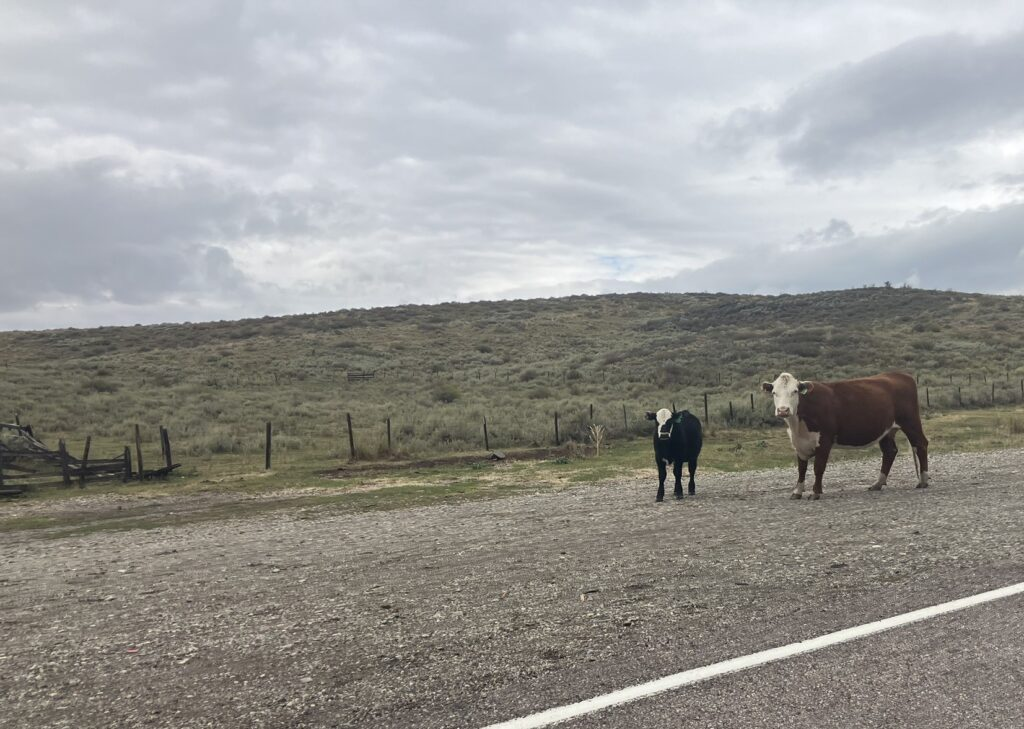
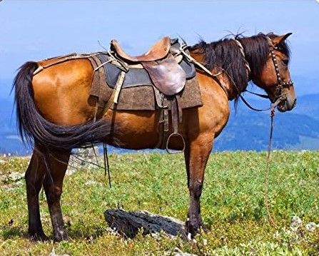
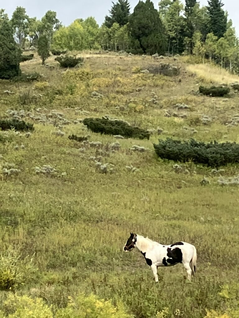
Along the way, I saw the sorts of scenery and imagery you’d expect to associate with Wyoming, the Cowboy State. I saw cattle across the highway stopping traffic (that’s because this an open range area), ranches spread alongside the road, and even a fully saddled but riderless horse atop a hill overlooking the road, and later a bridled pinto out in the field, just waiting for a rider.
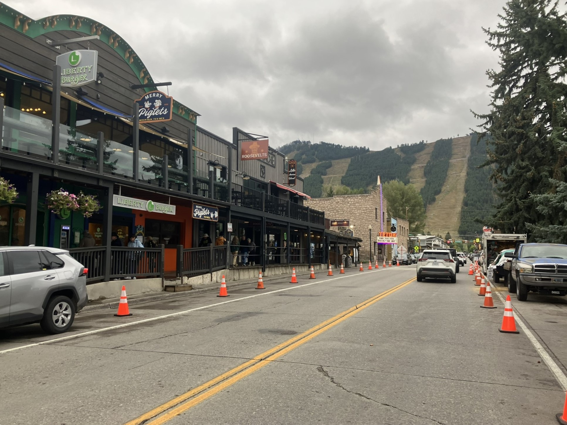
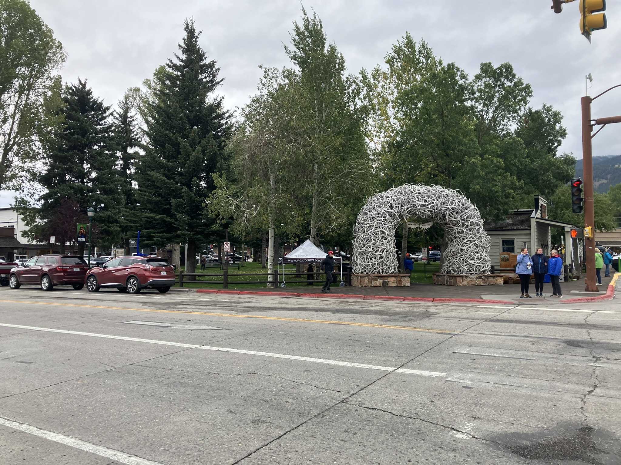
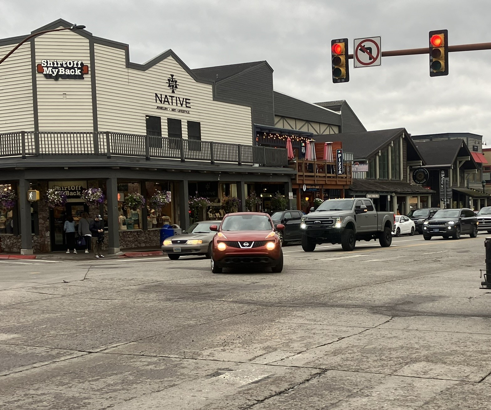
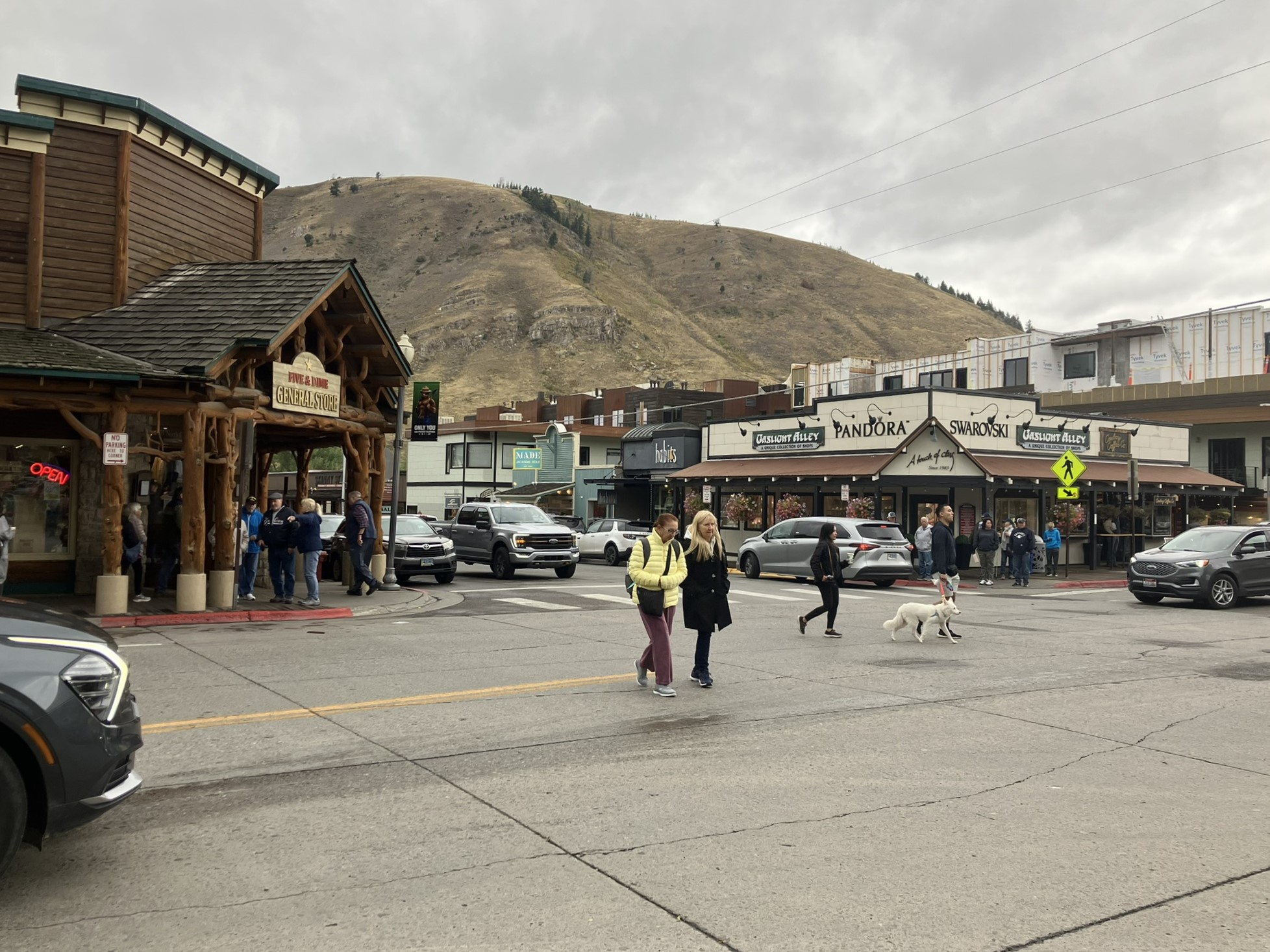
And then came Jackson, also known as Jackson Hole, but is actually the Jackson. I thought maybe they were two different towns. They’re not. Jackson Hole is the surrounding area, and Jackson is the town.

Jackson is really the gateway to the Grand Teton mountain range, and the Grand Teton National Park, and after that Yellowstone. It is a lovely, but very touristy (what’s you expect?) and busy town, of only about 11,000 people, so not large, but great to visit. It’s a very nice looking town, but expensive for lodging (so I stayed at a motel in Idaho, quite a ways away, but more reasonable priced), and great for shopping, eating, drinking, and recreating, and the last stop before Grand Teton.
By now, it was not only cool but had started to rain, although not too badly, and not so much that I couldn’t comfortably walk around.


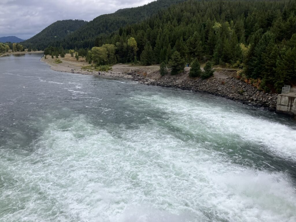
Then, I hightailed it outta town, and headed to Grand Teton National Park. The route to the park entrance is not actually signposted well, and is quite a ways north of the town, maybe 15 miles north. Google Maps deposited me basically in the middle of nowhere, whereas my Kia GPS got me to the Moose entrance of the park, which is one of the two main entrances. By now, it was raining steadily, although more of steady drizzle, walk aboutable, but, for me, at least, too much for an actual hike.

I plan to return to the park tomorrow, as well as head up into Yellowstone National Park, which is directly adjacent to Grand Teton; where one ends the other begins. I also, by now, only had maybe 3 hours in the park, as I still had to drive west, back into Idaho, where I was spending the night, it turns out almost 100 miles away (poor planning; I just didn’t pay enough attention to how far away my lodgings for the night were).
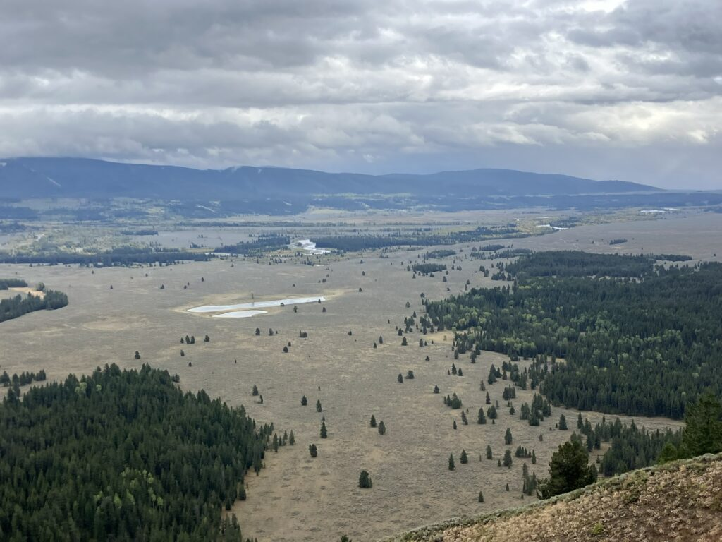
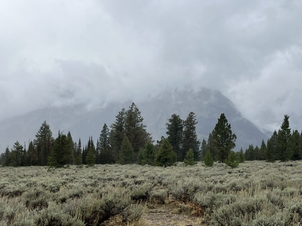
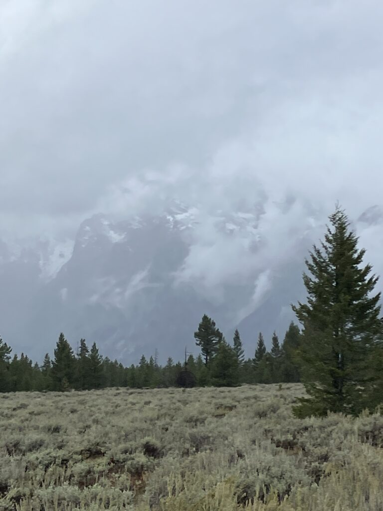
I also wanted to get oriented to the park, which I eventually did as I was driving along the two main routes through the park, and made a number of stops for viewing and taking short walks. The cloud cover was really low, and it was really almost impossible to see the Grand Tetons, as they poked up into the clouds, and I’m hoping for better weather, and clearer views, tomorrow. Still, the cloud cover itself presented beautiful views off mist covered mountains.

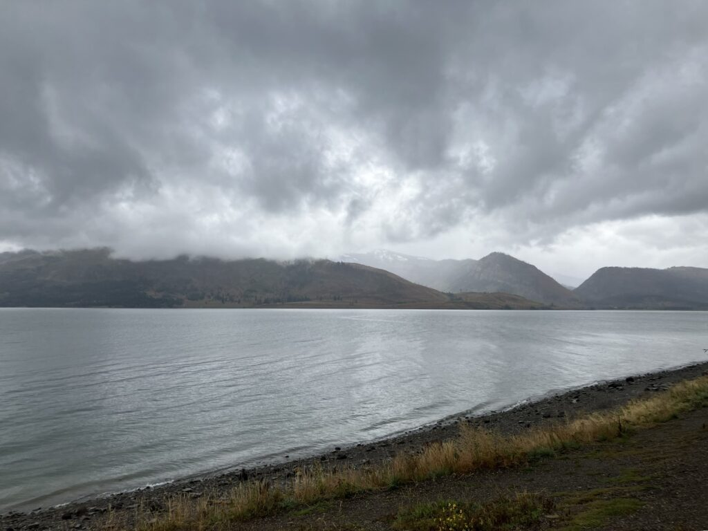
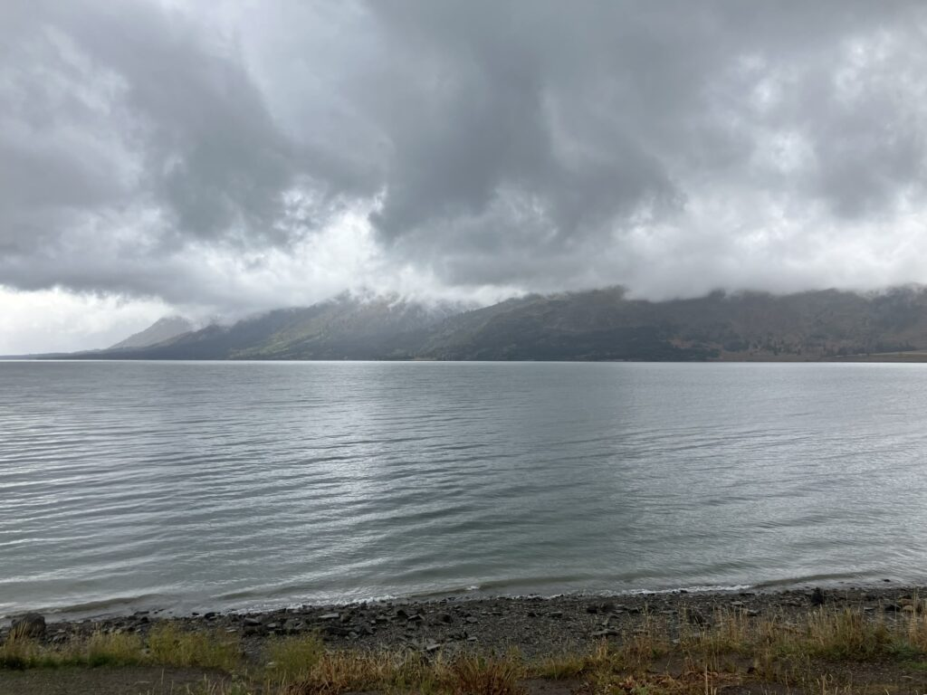

I drove up to Signal Mountain summit, and also along Jenny Lake, and along the Jenny Lake scenic drive and overlook, both fairly short drives (5 and 4 miles), but with beautiful views.
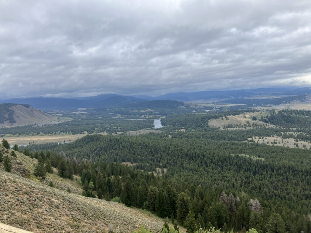


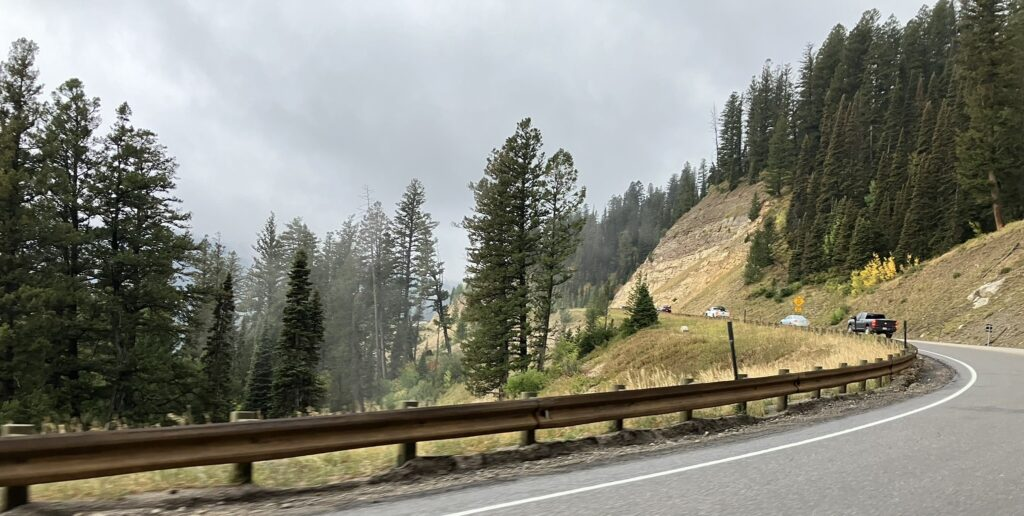
And by now it was late in the afternoon, and time to take, what it turned out to be, an almost 2 hour drive to Rexburg, Idaho, where I was staying. Raining lightly, but steadily, with low cloud coverage, the drive was great, and especially through the Teton Pass, still in Wyoming, rising to over 8,400 feet and often closed in the winter. Difficult to take photos as I was driving, and almost impossible to capture the beauty of the cloud covered pass, but I did get a couple of shots. Maybe I can get some tomorrow, when I head back east to the park.