Grand Teton and Yellowstone.
I had a wonderful day in Grand Teton National Park today, and later Yellowstone, and the weather was much improved. Still many clouds, but also a lot of blue sky, and the weather was much warmer, with no rain at all. I didn’t need a sweat shirt, and almost could have worn shorts. I also enjoyed going back over the Teton Pass, on my way to the park, which today had clear views all around, including the Grand Tetons in the distance.


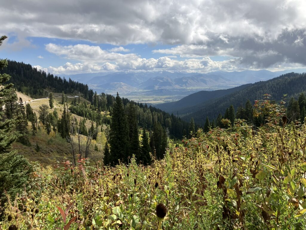
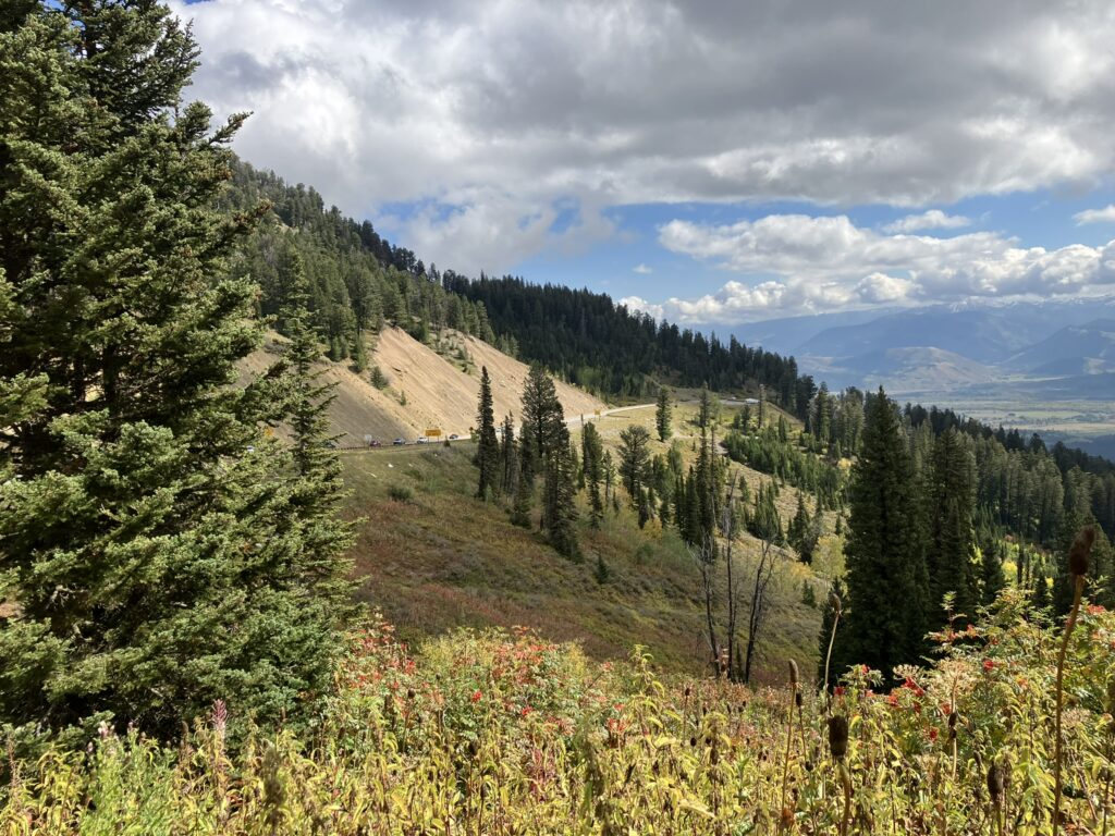

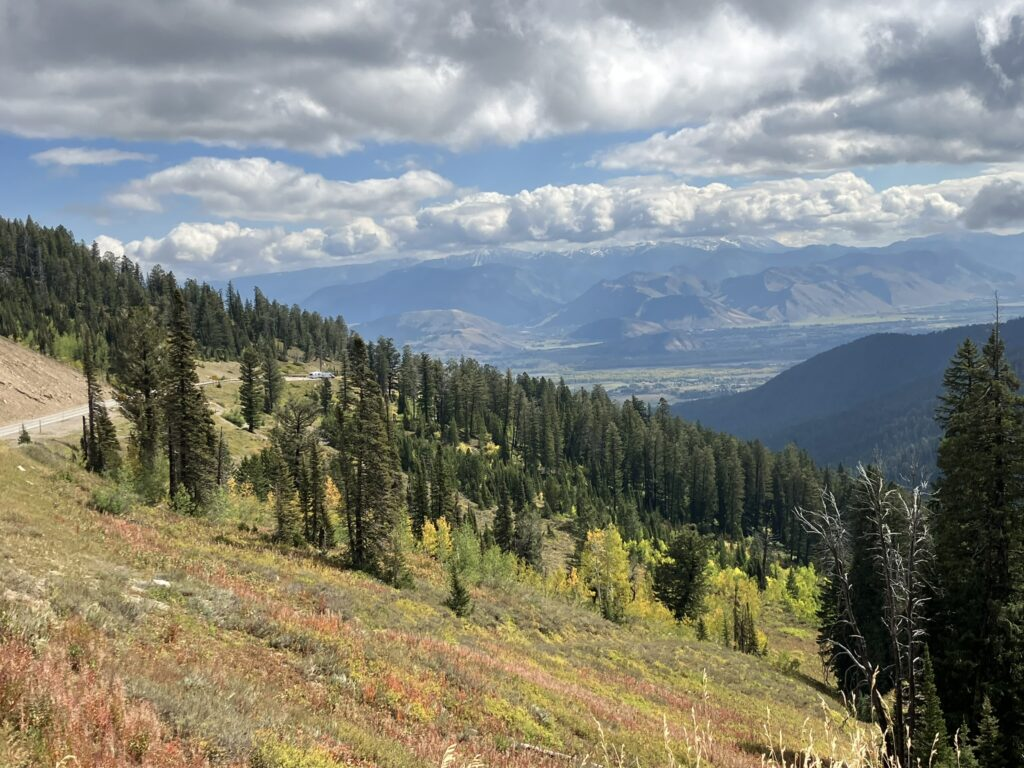
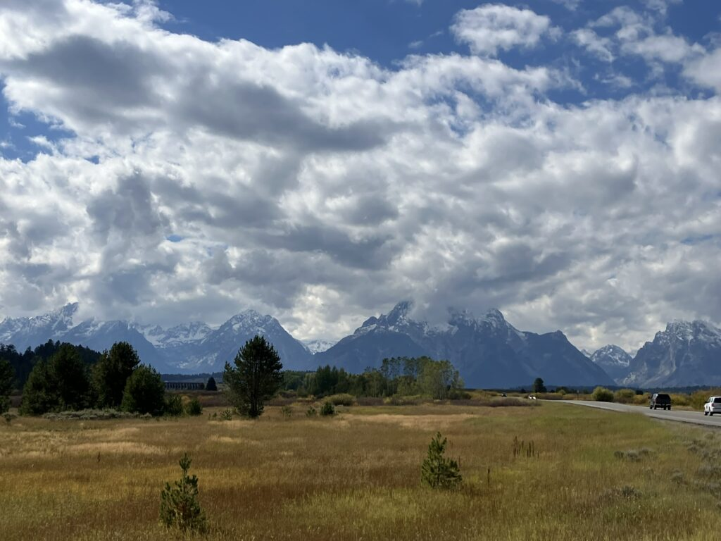
This time, Google Maps took me directly to the Moose entrance to the national park, and saved about 40 miles over the route given by the car GPS (go figure), and in I went. The park actually looked great yesterday with the low cloud cover shrouding the Grand Teton mountains, creating dramatic views but also making it impossible to see their grandeur. Today, although there were lots of clouds filling the otherwise deep blue skies, they did not descend upon the mountains like yesterday, although the mountains did reach up into the clouds near their peaks, at over 13,000 feet. Today, it was easy to see the partly snow capped mountain tops. Just stunning views, with wonderful light, and especially across the water.


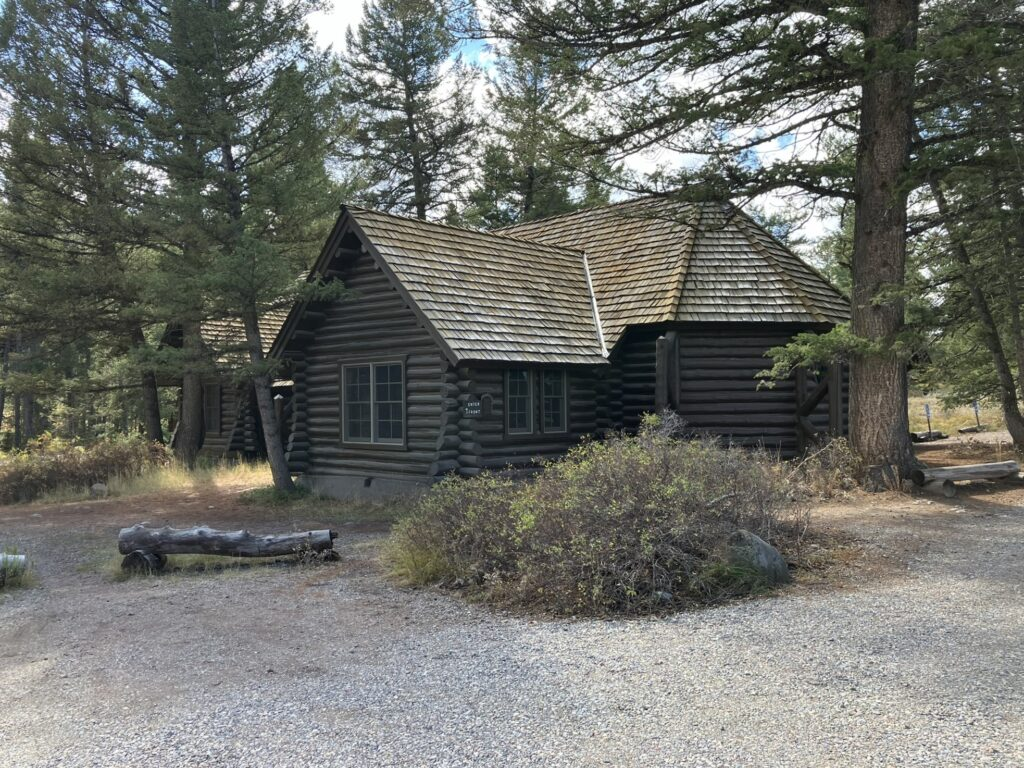
I drove back around the park, today with a much clearer sense of the park and where I was heading, stopping at some of the points I visited yesterday, to see the views more clearly today, and some additional sights, such as the Chapel of the Sacred Heart, which is a log-built building located in the woods along Jackson Lake, with a beautiful circular stained glass window.


The famous Snake River, the very same river that Evel Knievel attempted to motorcycle jump in 1974, although in Idaho, was serene and beautiful, which I re-visited later in the day in Yellowstone National Park.


Further along, heading south around the park loop road, I stopped at Snake River again, at Oxbow Bend, and this time decided to stop awhile along the river, and enjoy the complete serenity. For the first time on this trip, and for the first time in a while, I decided to do a pencil and water color sketch, and took an an hour or so to do that or maybe more, as time goes by when I’m sketching and I lose track. The day was warm, and I sat with my shoes off in the grass by the water’s edge as I drew and painted.
I’m not sure why I’ve lacked any motivation to draw or paint. I’ve been carrying art supplies with me, but just haven’t the call, nor have had the patience it requires. Even today, I didn’t put in the time really required.


Oxbow Bend turned out to be my last stop in the park, although I had planned to continue my visit, and take a hike. But the combination of taking the time to sketch and a second day of poor planning meant it was time to leave.
It was difficult to get a cell signal in much of the park, but my car GPS is satellite linked and so doesn’t require call service, and can almost always map out a route, whereas maps like Apple Maps and Google Maps require a cell signal. I was shocked to see my GPS telling me it was almost 5 hours from where I was to the eastern entrance of Yellowstone, and Cooke City where I was spending the night. I knew that must be wrong (it was, as it was taking a different route, for some reason I’ve yet to figure out), but I knew it must be further than I had imagined. Poor planning. I obviously didn’t check carefully enough (or at all) before planning the day. I did manage to eventually get cell service, and Google Maps showed it was 130 miles, and over 3 hours away, and I got going. Unfortunately, I later lost that signal, and could then only use the car GPS.
The southern entrance to Yellowstone National Park more-or-less starts where Grand Teton National Park ends at its northern border, with the same road that runs through Grand Teton continuing into and running through Yellowstone. I’m tempted to say it’s almost the same park.

But, Yellowstone dwarfs Grand Teton National Park, with over 2 million acres over 3,500 square miles that extend into Wyoming, Idaho, and Montana, whereas Grand Teton is a measly 310,000 acres and 480 square miles, sitting only in Wyoming. Despite some similarities in scenery, the parks also look different, and the size of Yellowstone alone assures great variation in its environment and geology.
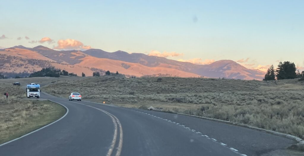
At this point, I was on a mission to get to Cooke City by 7:30 or 8 pm, and will be coming back into Yellowstone tomorrow, but I did, of course, stop along the way. However, there is no cell service anywhere in Yellowstone, or at least I couldn’t get any the entire time I drove through, and the same is true for Cooke City, where I am as I write this (yes, I made it). That meant I could only use my car GPS which was routing me through the park in the strangest of ways, adding about 2 hours to the trip. Each time, I ignored it by not making the turn it indicated, it kept indicating I should turn around and go back, adding even more distance and time to my estimated arrival. At one point, the further away I got from the route it was insisting on, it said I would not arrive until almost 11 pm. However, as I couldn’t get Google Maps, I instead used the park map, which I could plainly see took me more directly to Cooke City, in line with the earlier Google Map route. I actually arrived at 7:45 pm, just as it was getting dark. It was only when I reached the final stretch of my drive, when I was only 30 minutes or so from Cooke City, the car GPS relented, and said okay you’ll get there before 8, and not at 11 pm. Odd. It must have something do with route option settings, which I’ll check tomorrow.
Soon after entering the park, the road wound higher and higher, with wonderful views of the Snake River meandering in the canyon below, and soon after I re-visited my old friend, the Continental Divide.


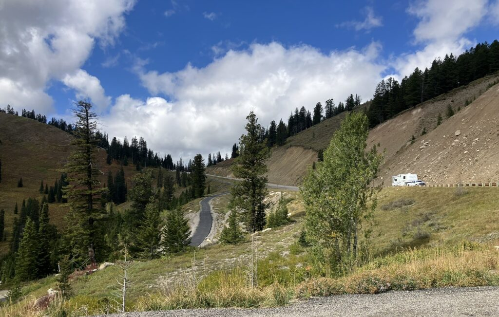
The park road was wonderful, and wound and twisted around the mountains for many, many miles, with, of course, gorgeous views all around it and below. It was definitely slow going and I kept the car in a low gear for all those many twists and turns. What a drive!
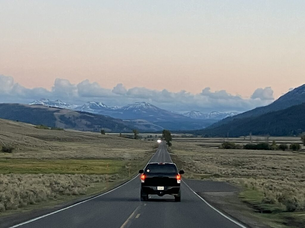
Toward the end of that long section, as I turned off the Grand Loop by Tower Fall and headed west for the final stretch to the park’s north-eastern entrance/exit and Cooke City, about 4 miles beyond that, I stopped again to look at the Yellowstone River running far below at Calcite Springs, with the surrounding mountains now tinged pink and orange as the sun started to set.


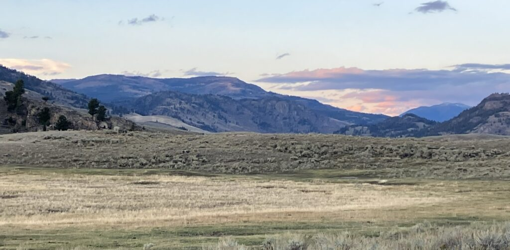
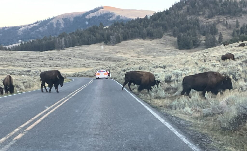
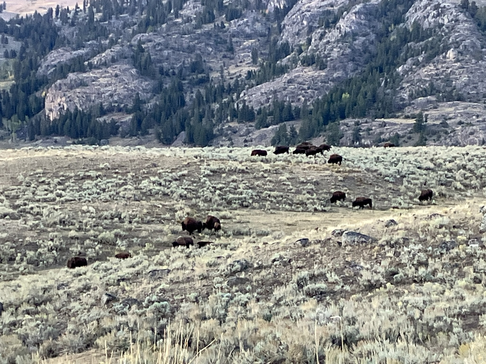
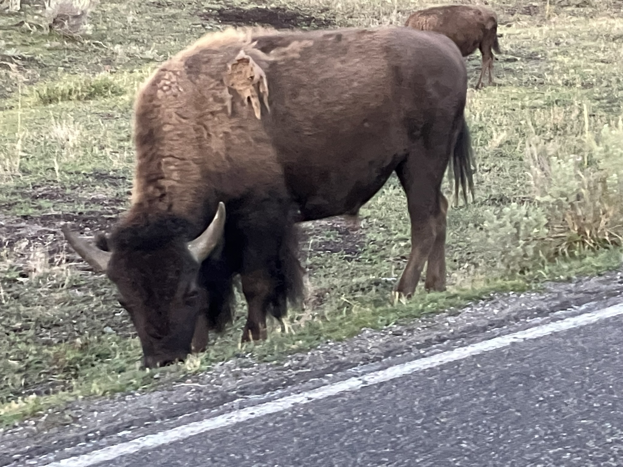
Heading along that final stretch, I started to see Bison, only one or two at first, but after a while herds of them on and alongside the road and on the surrounding plains. Last time I was at Yellowstone, I recall seeing (and videotaped) a bison casually walking along the dead center of the road in Cooke City. If you’re a bison, you just don’t care.


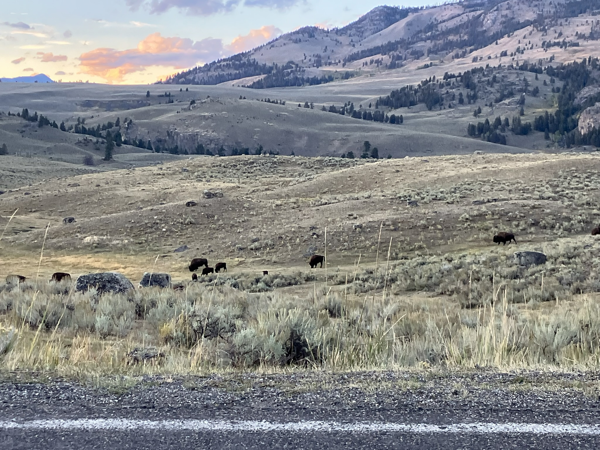
The light along the final stretch tinged the mountains, clouds, and sky purple and pink. A great ending for a wonderful day. That said, I was damned glad to get to my hotel in Cooke City before 8 pm. 😊